








 Back
randonnee
GR®89 - Chemin de Montaigne : The whole route
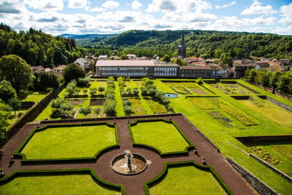
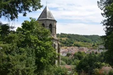
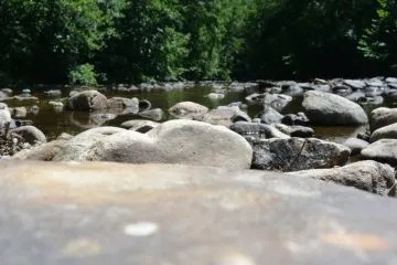
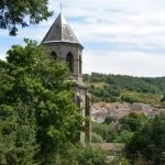
Le Chemin de Montaigne retraces part of the route taken by humanist philosopher Michel Eyquem de Montaigne on his journey from Rome to Bordeaux in 1581. The GR 89 crosses the southern part of the Combrailles between Pontgibaud and La Celle over a distance of 47 km.
Description
The GR 89 is divided into 4 sections in the Combrailles:
- St-Ours / Malsaigne: 14 km (4h30)
- Masaigne / Pontaumur: 15 km (5h00)
- Pontaumur / Condat-en-Combrailles: 11 km (3h30)
- Condat-en-Combraille / La Celle (3h15)
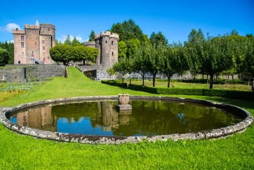
The first stage between St-Ours and Malsaigne passes through the medieval town of Pontgibaud (Château Dauphin) and the Sioule valley.
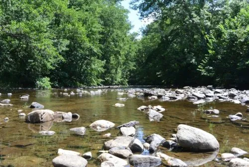
The second stage between Malsaigne and Pontaumur takes in Montôt, the village of La Goutelle and the banks of the Sioulet.
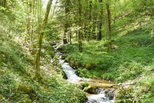
The third stage between Pontaumur and Condat-en-Combraille offers a panoramic view of the Sioulet valley and the Tyx stream.
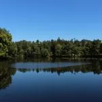
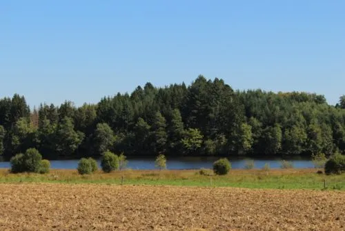
The fourth stage between Condat-en-Combraille and La Celle is the pond stage, with a visit to the 70-hectare Etang de Tyx.
Prices
Free access. Hiking fact sheets for free download.
Itinerary
-
 Distance
47km
-
 Kind of route
Aller simple
-
 Elevation gain
760m
-
 Downhill gradient
710m
-
 Roaming duration
4 jours
-
 Marked route
Yes
-
 Precision Marking
Red and white Grandes Randonnée signposts
Opening period
All year round daily.
Location
Documents

Pets
Pets allowed : No


-
Distance
47km
-
Roaming duration
4 jours
-
Elevation gain
760m
-
Downhill gradient
710m


-
Condat-en-Combraille
 Pedestrian sports
GR®89 - Chemin de Montaigne: Stage Co...
- Distance 10km
- Daily duration 03:15
- Elevation gain 140m
- Downhill gradient 80m
-
Bromont-Lamothe
 Pedestrian sports
GR®89 - Chemin de Montaigne: Malsaign...
- Distance 15km
- Daily duration 05:00
- Elevation gain 110m
- Downhill gradient 400m
-
Pontaumur
 Pedestrian sports
GR®89 - Chemin de Montaigne: Pontaumu...
- Distance 11km
- Daily duration 03:30
- Elevation gain 250m
- Downhill gradient 90m
-
Pontgibaud
 Pedestrian sports
GR®89 - Chemin de Montaigne: Saint-Ou...
- Distance 14km
- Daily duration 04:30
- Elevation gain 260m
- Downhill gradient 140m