Back
randonnee
GR®89 - Chemin de Montaigne: Saint-Ours - Malsaigne stage
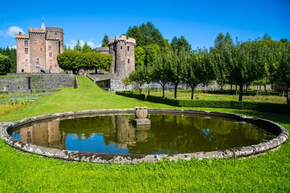

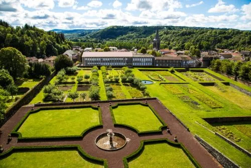
Le Chemin de Montaigne retraces part of the route taken by humanist philosopher Michel Eyquem de Montaigne on his journey from Rome to Bordeaux in 1581. This 14km stage links Saint-Ours to Malsaigne in the commune of Bromont-Lamoth
Description
Departure from Place de l'Église in Saint-Ours
Car park at Place de l'Église
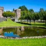
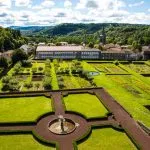
From the village of Saint-Ours, the route passes through the medieval town of Pontgibaud and in particular the site of the 15th-century Château Dauphin.
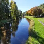
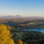
It then crosses the Sioule, an essential river in the landscapes of this great region, before heading up to the Combrailles plateau and the hamlet of Malsaigne in the commune of Bromont-Lamothe.
Prices
Free access. Hiking fact sheets for free download.
Itinerary
-
 Distance
14km
-
 Kind of route
Aller simple
-
 Elevation gain
260m
-
 Downhill gradient
140m
-
 Daily duration
04:30
-
 Marked route
Yes
-
 Precision Marking
Red and white GR markers.
-
 Type of terrain
Stone,
Ground,
Hard coating (tar, cement, flooring)
Opening period
All year round daily.
Location
Documents

Pets
Pets allowed : No


-
Distance
14km
-
Daily duration
04:30
-
Elevation gain
260m
-
Downhill gradient
140m