








 Back
randonnee
The Charponne spring
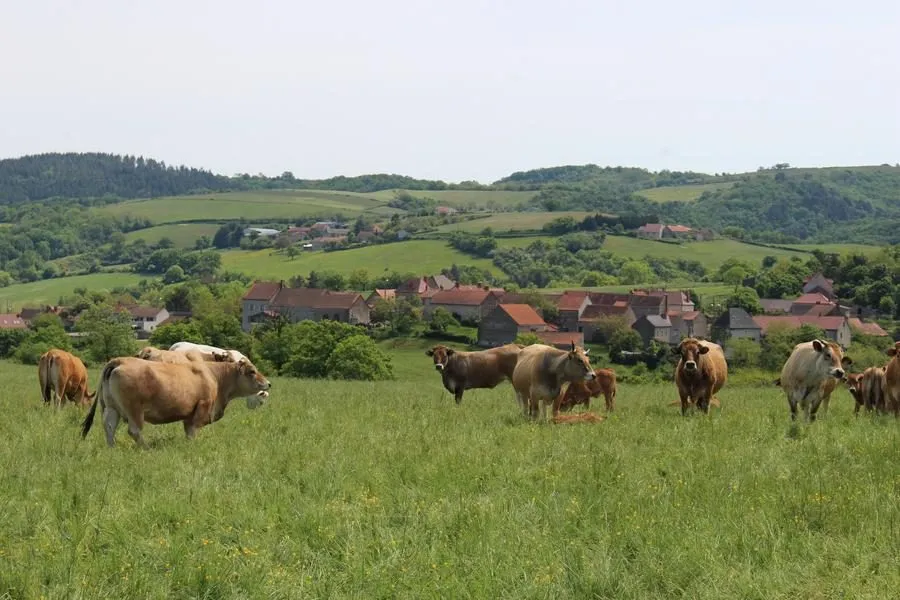
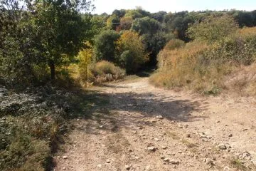
From Saint-Quintin-sur-Sioule, the route takes you through cereal-growing countryside with beautiful views over the Ebreuil basin (03), which is irrigated by the Sioule. After crossing valleys and woods and passing a pond, you come to the source of the Charponne.
Description
1/ From the start sign in the square near the church, walk past the church and follow the D50. At the Soleil Levant exit, take the grassy track on the left. At the T junction, fork right and go straight on for 800 m to the crossroads. Turn left and climb up to the road.
2/ Go left. At Mas Solivet (granite wash-house), (view of Saint-Quintin), turn right. At the T junction 300 m further on, turn left. At the road, turn right and follow the first path on the left down to the bottom of the valley. Continue up the other side of the valley. After the pond, at the crossroads, follow the left-hand path downhill to the T-junction after the Pré du Moulin stream.
3/ Turn left along the stream. Cross a footbridge. At the D412 road, turn right and take the first track on the left (Etang sur la Cigogne). At the intersection, turn left to cross a footbridge and climb up through the undergrowth to the road. Follow the road to the right. Ignore the right-hand path and continue to the crossroads.
4/ Follow Rue du Domaine to the left; at the entrance to the hamlet, turn right and, at the exit, fork left. Take the path on the right, then the one rising to the left. At the road, turn left for 50 m and then right onto the grassy path. At the T junction, turn right to reach the road.
5/ Go left for 150 m, then right on the flat track. At the road, fork left, follow rue des Grands Jardins and then right onto rue Paul Vérillon, which takes you back to the starting point.
Proposed and managed by the Conseil départemental du Puy-de-Dôme - PDIPR.
Further information on reception
For your own safety, always take a bottle of water, a hat, warm clothing and footwear suitable for walking.
Depending on weather conditions, certain itineraries are not recommended in bad weather (fog) or are not practicable, or even forbidden, during the winter season.
Some sites are fragile, so stay on the marked trails. Avoid picking wild flowers and disturbing wildlife. Pick up your garbage.
Animals are not allowed on some routes.
Prices
Free access.
Itinerary
-
 Distance
13.5km
-
 Kind of route
Loop
-
 Elevation gain
335m
-
 Daily duration
03:45
-
 Marked route
Yes
-
 Precision Marking
Yellow
Opening period
All year round daily.
Subject to favorable weather.
Location
North of Riom, follow the D2144 towards Montluçon. In Saint-Pardoux, turn right onto the D50 to Saint-Quintin-sur-Sioule.
Pets
Pets allowed : Yes
Dogs must be kept on a leash due to the presence of herds.


-
Distance
13.5km
-
Daily duration
03:45
-
Elevation gain
335m
-
Kind of route
Loop