Back
randonnee
Le Sioulet
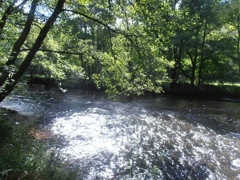
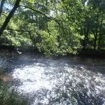
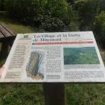
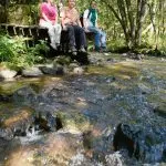
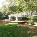
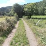
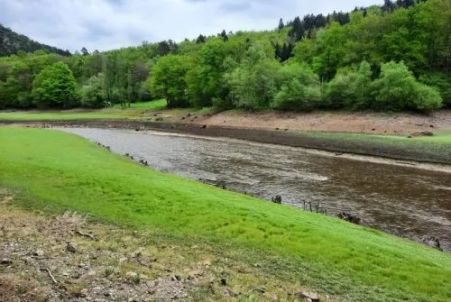
The hilltop church offers a breathtaking view of a meander in the Sioulet. The Sioulet, a tributary of the Sioule, attracts trout anglers in particular with its wild, unspoilt character. Plateaux and uninterrupted views round off the itinerary.
Description
1/ From the start sign at the parking lot behind Miremont town hall, follow the stream along the left bank to the bridge. Cross the bridge (cabanon: re-enactment of an old-fashioned wedding) and climb up. At the cross, go straight on (off the circuit, on the hill: 12th-century church - AR 20 minutes), go downhill, cross the bridge and continue to a dirt track.
2/ Turn right on this track, and follow the undergrowth up the Sioulet, sometimes between low walls. Follow the path to the footbridge, which you leave to the right (ruins of a mill) and continue along the water's edge to a road.
3/ Follow it to the left for 200 m, then take the first path on the right, past the buildings, up to the hamlet and to the right. On the hillside, take the right-hand path, go down and cross the Sioulet by the footbridge. Climb back up and, at the last house, take the second path on the right. At the road, go straight on to the first bend.
4/ Take the path (view of the Chaîne des Puys). At the road (wooden cross), go downhill, then follow signs for Les Planeaux; enter the woods on a dirt track. At the crossroads, turn left and go downhill. Cross the bridge and return to the starting point on the right (opposite the town hall: "Retour sur le passé" museum).
Proposed and managed by the Conseil départemental du Puy-de-Dôme - PDIPR.
Further information on reception
For your own safety, always take a bottle of water, a hat, warm clothing and footwear suitable for walking.
Depending on weather conditions, certain itineraries are not recommended in bad weather (fog) or are not practicable, or even forbidden, during the winter season.
Some sites are fragile, so stay on the marked trails. Avoid picking wild flowers and disturbing wildlife. Pick up your garbage.
Animals are not allowed on some routes.
Prices
Free access.
Itinerary
-
 Distance
10km
-
 Kind of route
Loop
-
 Elevation gain
270m
-
 Daily duration
03:00
-
 Marked route
Yes
-
 Precision Marking
Yellow
Opening period
All year round daily.
Subject to favorable weather.
Location
From Pontgibaud (20 km west of Clermont-Ferrand), take the D941 to La Goutelle, then the D217 and D61 to St-Jacques d'Ambur, and the D121 to Miremont.
Pets
Pets allowed : Yes
Dogs must be kept on a lead due to the presence of herds.


-
Distance
10km
-
Daily duration
03:00
-
Elevation gain
270m
-
Kind of route
Loop