








 Back
randonnee
Hiking - Étang du Chevalet
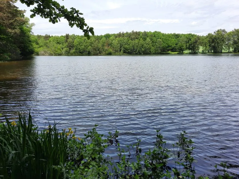
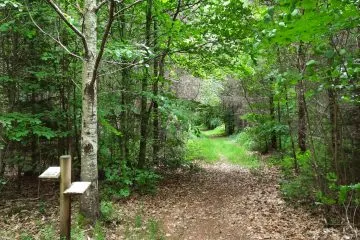
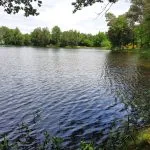
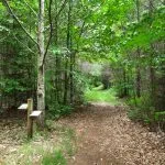
A family trail to discover the Charensat forest and the Etang du Chevalet.
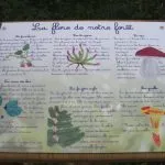
Explanatory signs accompany walkers along the route to introduce them to the flora and fauna.
Description
Start: Opposite the start sign, turn right onto the wide forest track. Turn left at
. At the crossroads, go left for 100m along a track
, which may be damp, until you find a path on the right.
1 - Take this path and continue straight ahead. At the T-junction, turn left. 50m from
the pond, the path veers right and then joins the edge of the pond. Follow the path to the left (picnic table
, country views). After the pond, the path continues into the forest, partly overlapped by a logging road (
). Continue along this path until you come to a junction with a path
on the right, located on a small rise.
2 - Follow this path to the right. Go past a water intake on the right and continue along a wide gravel path at
. Cross a road and continue straight ahead on the forestry path. A
logging road partially overtakes the forest path, which then climbs back up to the
starting point.
Further information on reception
Beware of tree felling along the route.
For your own safety, always take a bottle of water, a hat, warm clothing and footwear suitable for walking.
Depending on the weather conditions, some routes are not recommended in bad weather (fog) or are not practicable, or even forbidden, during the winter season.
Some sites are fragile, so stay on the marked paths. Avoid picking wild flowers and disturbing wildlife. Pick up your rubbish.
Prices
Free access.
Itinerary
-
 Distance
3km
-
 Kind of route
Loop
-
 Elevation gain
43m
-
 Daily duration
00:45
-
 Marked route
Yes
-
 Precision Marking
Blue markings
Opening period
All year round daily.
Location
North-west of Clermont-Ferrand, in Charensat, car park 100m from the D13/D60 junction towards La Faye.
Pets
Pets allowed : Yes
Dogs must be kept on a lead


-
Distance
3km
-
Daily duration
00:45
-
Elevation gain
43m
-
Kind of route
Loop