








 Back
randonnee
GR 300: The Saint-Michel Way
Combronde
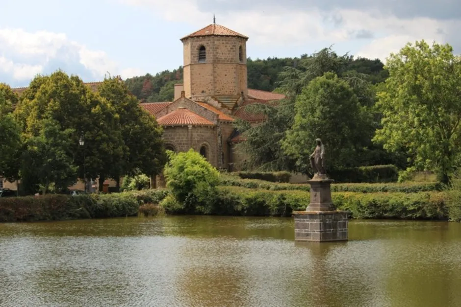
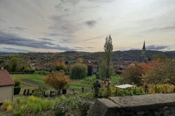
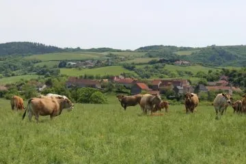

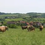
The GR 300 is a hiking route linking Le Rocher de Saint Michel d'Aiguilhe (Le Puy-en-Velay) to Ébreuil in the Allier.
The GR 300 crosses the eastern edge of the Combrailles between Yssac-la-Tourette and Saint-Quintin-sur-Sioule over a distance of 35 km.
Description
The GR 300 is divided into 3 sections in the Combrailles:
- Ébreuil / Saint-Hilaire-la-Croix: 10.7 km (2h45)
- Saint-Hilaire-la-Croix / Combronde: 10 km (2h35)
- Combronde to Mozac: 14.7 km (3h45)
Prices
Free access. Free download hike sheet.
Itinerary
-
 Distance
35km
-
 Kind of route
Aller simple
-
 Daily duration
10:00
-
 Marked route
Yes
-
 Precision Marking
Red and white signposts for long-distance hiking
Opening period
All year round daily.
Location
Documents

Pets
Pets allowed : No


63460 Combronde
Phone :
-
Distance
35km
-
Daily duration
10:00
-
Kind of route
Aller simple
-
Marked route
Yes