








 Back
randonnee
From Vitrac to the Sioule valley
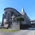
Drive to Vitrac, 40 km northwest of Clermont-Ferrand. Parking available at the picnic area near the church, and departure sign at Place de l'église.
Description
Start: Opposite the start sign, turn left onto the road and take the path on the left along a fence. Go down to the left along the cemetery (view of the Puy de Dôme) and follow the D414 to the right. Turn right on the D61 for 100 m, then right towards Gagne. Cross the hamlet, take the road on the left and fork the second track on the right. Continue downhill on the main road until you reach a T-junction.
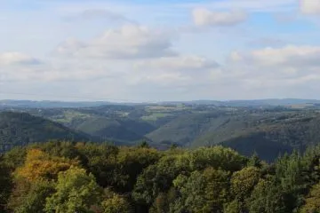
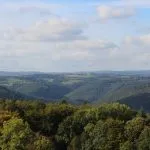
1 - Climb to the right, then take the cross-country track to the left. Ignore a track on the right and another on the left and continue to the village of Courteix. In the square, leave a large lime tree on your right and continue straight ahead. At the fork, go right. At the intersection, continue downhill to the left and after 50 m turn left onto a track. At the fork, go right (view of the Sioule valley). At the entrance to the wood, continue straight ahead on the main path, ignoring the side paths. At a T-junction, turn left. Continue downhill, ignoring the side paths, past 3 hairpin bends to a footbridge.
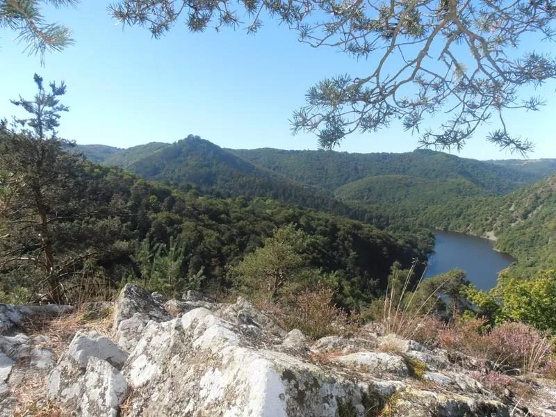
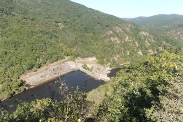
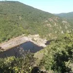
2 - Cross the stream (ruisseau de Gagne) and continue straight ahead. At the bridge over the Queuille stream, take the asphalt road to the right, then turn right onto the road leading to Moignoux. At the entrance to the hamlet, turn right up the route du Calvaire, then fork left on the first path (chemin du rocher) (view of the Queuille dam and the Sioule valley). At the T-junction, turn right. At the first houses in La Pradelle, take the left-hand road, then the first right. Keep right and climb up to the first houses in Vitrac. At the fork in the road, turn left and then right onto Rue du Bourg to return to the starting point.
Further information on reception
For your own safety, always take a bottle of water, a hat, warm clothing and footwear suitable for walking.
Depending on the weather conditions, some routes are not recommended in bad weather (fog) or are not practicable, or even forbidden, during the winter season.
Some sites are fragile, so stay on the marked paths. Avoid picking wild flowers and disturbing wildlife. Pick up your rubbish.
Animals are not allowed on some routes.
Prices
Free access.
Itinerary
-
 Distance
10.5km
-
 Kind of route
Loop
-
 Elevation gain
410m
-
 Daily duration
03:30
-
 Marked route
Yes
-
 Precision Marking
yellow
Opening period
All year round daily.
Location
Vitrac is 40 km north-west of Clermont-Ferrand. Parking available at the picnic area near the church and signposted departure point at Place de l'église.
Pets
Pets allowed : No


-
Distance
10.5km
-
Daily duration
03:30
-
Elevation gain
410m
-
Kind of route
Loop