








 Back
randonnee
Chemin des Combrailles
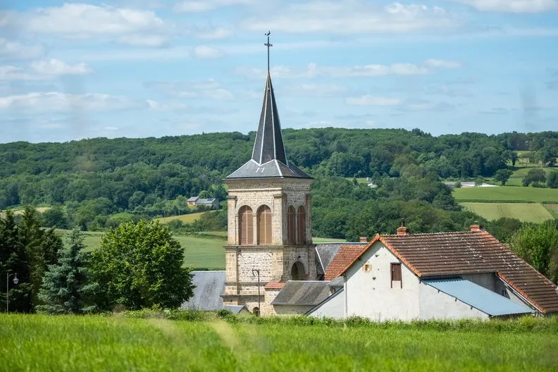

From Bussières, with its distinctive sandstone bell tower, discover all the diversity of the Combrailles countryside.
Description
With your back to the Town Hall, head down Rue du Domaine. Cross a road and
continue straight ahead along Chemin du Poirier, which becomes a wide grassy path. At the road, turn right up to a crossroads.
1 - Go straight ahead along a dirt track. At the fork, keep to the left and enter the forest. Descend, ignoring the side tracks, until you reach a road. Turn left, cross the bridge and immediately turn right up the road towards Miallet. Continue until you reach a crossroads at the entrance to the hamlet.
2 - Turn right down the road, leaving a track on your left and cross the stream. Go up to a hamlet (Urbillat). At the entrance, turn left and then left again to go through the village. At the fork in the road, continue straight ahead until you reach the next crossroads. Cross the road and go straight ahead on a grassy path between two hedges. At the road, turn right to get back to the starting point.
Further information on reception
For your own safety, always take a bottle of water, a hat, warm clothing and footwear suitable for walking.
Depending on the weather conditions, some routes are not recommended in bad weather (fog) or are not practicable, or even forbidden, during the winter season.
Some sites are fragile, so stay on the marked paths. Avoid picking wild flowers and disturbing wildlife. Pick up your rubbish.
Prices
Free access.
Itinerary
-
 Distance
5.5km
-
 Kind of route
Loop
-
 Elevation gain
165m
-
 Daily duration
01:45
-
 Marked route
Yes
-
 Precision Marking
Blue
Opening period
All year round daily.
Pets
Pets allowed : Yes
Dogs must be kept on a lead


-
Distance
5.5km
-
Daily duration
01:45
-
Elevation gain
165m
-
Kind of route
Loop