








 Back
randonnee
Chemin de César
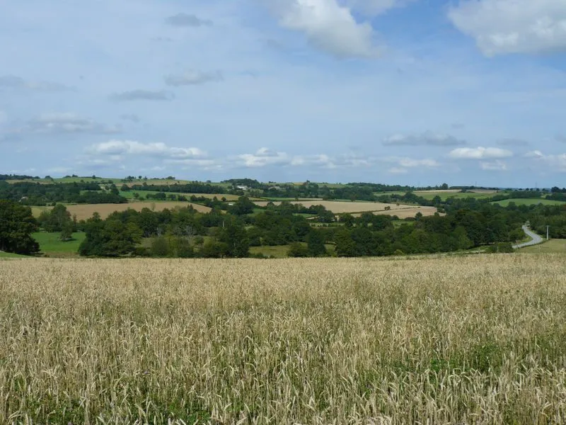
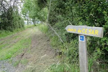
Follow in the footsteps of Caesar and the ‘Via Agrippa’, which ran from Lezoux via the summit of the Puy de Dôme to Saintes. On this walk, you can discover the special features of an ancient Roman trade route, such as the cobblestones and low walls.
Description
1/ From the start sign, follow the road between the cross and the church (12th-century church). At the crossroads, turn right, then right again, then immediately left onto a small track lined with low walls. Continue (wash-house, drinking trough) until you reach a crossroads. Go left for 100 m, then fork right onto another tree-lined path. At the road, turn right for 300 m, then climb the second track on the right and continue on the left. At the fork, turn right and continue as far as the Croix des Adieux.
2/ Turn right onto the wide tree-lined driveway (Roman road). At the road, continue straight ahead. Stay on this road for 1.5 km. At a fork in the road, turn right and continue to a crossroads. Turn left and after 50 m, fork right and go straight ahead at a fork. Continue straight ahead on the road to the first track on the left.
3/ Take it and go straight up. Stay on this path, passing ponds. At the T-junction, turn left. Ignore the paths to the left and right. At the tarmac road, turn right and continue to the first crossroads in Villavassoux.
4/ Climb left, then right. As you leave the village, leave the road and fork left. At the entrance to the woods, go straight ahead and continue as far as the road. Turn left, cross the D204 and go straight on. Follow the pond to the right. At the "La Chaize" sign, turn right and fork into the first track on the right before the second pond, climbing between fences. At the fork in the woods, follow the track below to the left and continue for about 500 m to reach the road. Go straight ahead for 150 m and turn right. At the entrance to Fernoël, cross the road, go straight ahead, then right and left to reach the starting point.
Proposed and managed by the Conseil départemental du Puy-de-Dôme - PDIPR.
Further information on reception
For your own safety, always take a bottle of water, a hat, warm clothing and footwear suitable for walking.
Depending on weather conditions, certain itineraries are not recommended in bad weather (fog) or are not practicable, or even forbidden, during the winter season.
Some sites are fragile, so stay on the marked trails. Avoid picking wild flowers and disturbing wildlife. Pick up your garbage.
Animals are not allowed on some routes.
Prices
Free access.
Itinerary
-
 Distance
11.5km
-
 Kind of route
Loop
-
 Elevation gain
165m
-
 Daily duration
03:00
-
 Marked route
Yes
-
 Precision Marking
Yellow
Opening period
From 01/01 to 31/12 daily.
Subject to favorable weather.
Location
Between Pontaumur and Saint-Avit on the D 941 west of Clermont-Ferrand, go as far as Giat and then Fernoël. Parking available near the church.
Documents

Pets
Pets allowed : Yes
Dogs must be kept on a leash due to the presence of herds.


-
Distance
11.5km
-
Daily duration
03:00
-
Elevation gain
165m
-
Kind of route
Loop