








 Back
randonnee
Château Jaloux
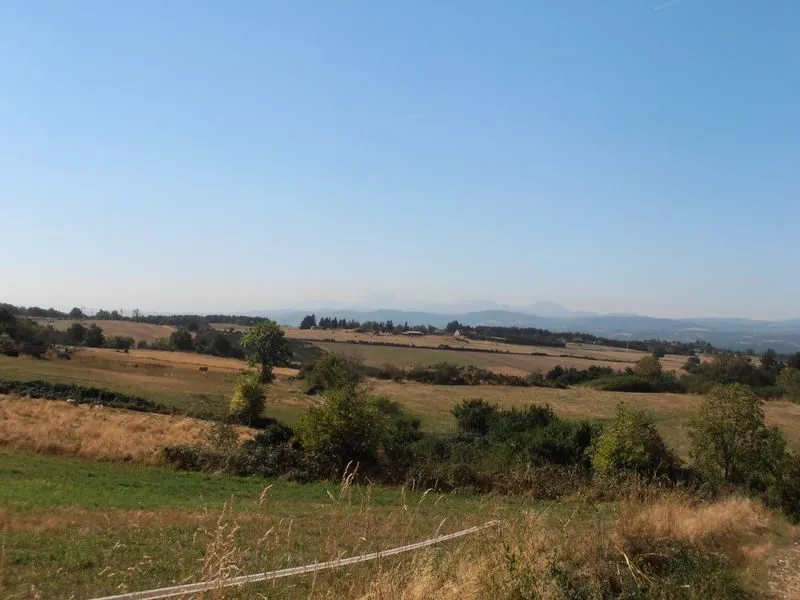
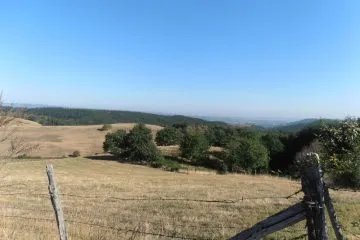
From the village of Champs, this route takes you to the Cigogne valley, the ruins of the Charponne mill and Château Jaloux.
Description
Start: From the start sign, take the route de la Croix Saint-Roch at the bottom of the parking lot towards the hamlet of Graves. Go straight on, and at the fork in the road keep left. Leave a cross on your right. Go right down a straight grassy path. At a crossroads, continue straight ahead on a track. Leave a track on the right. At the bottom of the valley, continue straight ahead. Continue along the right bank of the stream, crossing a footbridge at a confluence, then immediately take the raised path (caution: difficult access). Follow the path past the ruins of the Charponne mill to the road.
1 - Go right for 300 m, then left down a dirt track. Go past the pond. At the fork, turn left and cross the stream (footbridge). Climb up to a road. Turn right for 100 m and take the first track on the right. At the crossroads, continue straight ahead on a grassy track to the road. Turn right and follow it to the first house in the hamlet of La Motte.
2 - Turn right onto Rue des Palles to reach a T-junction. Go up to the left. At the next T-junction, follow the road to the right and then, immediately to the left, take the path to Château Jaloux. Go through a wood to a T-junction.
3 - Turn right downhill. After 100 m, leave the track on your left. Go straight on to the road, ignoring the paths on the left. Follow the road to the left for 400 m, and in a bend, at the entrance to the quarry, take the track opposite. Follow it to a road. Turn left. At the lake, leave a track to the right. In the hamlet of Les Boulards, go as far as the route du Patural.
4 - Follow it to the hamlet of Les Brayards. At the fork in the road, turn right into rue de la Vallée (bread oven and well on the left). At the end of the hamlet, head down a grassy path, ignoring the side paths until the bottom of the descent. Turn right. Go straight ahead at the next crossroads, leaving a track on your right, and continue until you reach a T-junction. Climb left, then right to reach Champs.
Further information on reception
For your safety, always take a bottle of water, a hat, warm and rain-proof clothing, and wear shoes suitable for walking.
Depending on the weather conditions, some routes are not recommended in bad weather (fog) or are not passable, or even prohibited, during the winter season.
Some sites are fragile, stay on the designated trails. Avoid picking wild flowers and disturbing wildlife. Pick up your trash.
On some routes, animals are prohibited.
Prices
Free access.
Itinerary
-
 Distance
13.5km
-
 Kind of route
Loop
-
 Elevation gain
385m
-
 Daily duration
03:45
-
 Marked route
Yes
-
 Precision Marking
Yellow markings
Opening period
All year round daily.
Pets
Pets allowed : Yes
Dogs must be kept on a leash due to the presence of herds.


-
Distance
13.5km
-
Daily duration
03:45
-
Elevation gain
385m
-
Kind of route
Loop