








 Back
randonnee
Agrippa's way
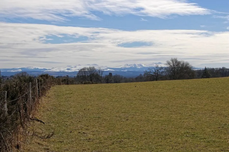
Discover the Via Agrippa, the network of Roman roads set up by Agrippa in the 1st century BC.
Description
1/ Opposite the signpost below the church, turn left into the lane between the houses. At the road, go right for 100 m, then fork left onto the first track between pastures. Turn right at the fork, then right again at the crow's-foot. At the asphalt road, turn left and immediately right up to a crossroads.
2/ Turn left and follow it to the next intersection. Turn left, then right onto the next track. Go down to the road and turn right for 300 m. Turn left and continue right through undergrowth. Continue between meadows until you reach a fork.
3/ Turn right up a wide driveway to a tarmac road. Go left down the Ribière and right before the bridge. At the crossroads, go straight on, ignoring the paths on either side until you reach a wide junction.
4/ Turn right and continue for 800 m, leaving the paths on either side. At an open area, turn left, then immediately right to follow the old Roman road for 100 m. Turn left onto a wide forest lane. Cross the D82 and continue for 800 m. Just before a few houses, turn right. Go around the hamlet of Mollanges, and continue along the road to the first path.
5/ Turn left. Keep ahead (view of the Sancy massif) until you reach a fork. Keep right, and turn right at a large cross. Take the first path on the left, then the one on the right, and continue to the starting point.
Proposed and managed by the Conseil départemental du Puy-de-Dôme - PDIPR.
Further information on reception
For your own safety, always take a bottle of water, a hat, warm clothing and footwear suitable for walking.
Depending on weather conditions, certain itineraries are not recommended in bad weather (fog) or are not practicable, or even forbidden, during the winter season.
Some sites are fragile, so stay on the marked trails. Avoid picking wild flowers and disturbing wildlife. Pick up your garbage.
Animals are not allowed on some routes.
Prices
Free access.
Itinerary
-
 Distance
11.5km
-
 Kind of route
Loop
-
 Elevation gain
200m
-
 Daily duration
03:00
-
 Marked route
Yes
-
 Precision Marking
Yellow
Opening period
All year round daily.
Subject to favorable weather.
Location
Between Pontaumur and Aubusson, on the D941, head for Condat-en-Combrailles. Follow the D82, then the D19. In Voingt, parking lot behind the church.
Pets
Pets allowed : Yes
Dogs must be kept on a leash due to the presence of herds.


-
Distance
11.5km
-
Daily duration
03:00
-
Elevation gain
200m
-
Kind of route
Loop